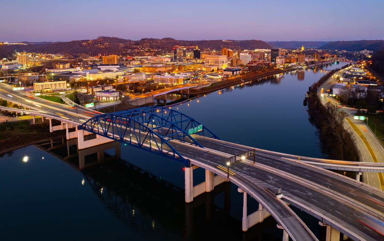
Effortlessly shipping cars, motorcycles, trucks or any vehicle to/from any location in West Virginia
West Virginia Vehicle Shipping & Heavy Haul Transport Experts
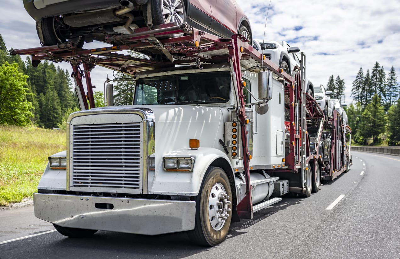
Ship a Car, Inc. provides high-quality freight transportation services to individuals moving their automobiles (including ATVs, cars, golf carts, motorcycles, SUVs, UTVs, etc.), businesses moving their general freight and/or heavy equipment. In addition, regardless of the collection and destination locations, we provide top-notch volume vehicle shipping services to companies and dealers who want bulk relocation services.
The largest network of freight carriers is directly accessible to SAC, a seasoned full-service freight transport broker. All it takes is a single phone call. When you choose Ship A Car, we provide a smooth shipping process, peace of mind while transporting, and safe and timely delivery of your vehicle and/or freight.
For direct vehicle and freight transport service to or from any residence or place of business in the state of West Virginia, get in touch with a Ship A Car transport coordinator right away at (866) 821-4555.
We provide direct service to and from any location in West Virginia -
above is a list of the most popular car shipping locations that we service.
Everything You Need to Know About the State of West Virginia (WV)
During the Civil War that lasted between 1861 and 1865, the Virginia state voted to disaffiliate from the United States. People from the mountainous western part of the state were against the decision and decided to create their own state to support the Union. That was what led to the formation of the state West Virginia. On June 20, 1863, congress instituted West Virginia as a state.
The West Virginia town of Harpers Ferry was the location of John Brown’s ill-fated 1859 raid on the federal arsenal there. Although Brown’s plan to arm a large-scale slave rebellion with weapons from the armory eventually failed, and Brown was hanged. The raid was not successful with inflaming white Southern fears of slave rebellions and increased the increasing tension between the North and South preceding the Civil War.
Today, West Virginia is a major coal-producing state, contributing 15% of the country’s coal. The New River Gorge Bridge near Fayetteville is the longest steel arch bridge in the world. Every October, the town hosts a Bridge Day celebration when the road is closed to traffic, and people are allowed to parachute and bungee jump off the bridge. The event entices almost 100,000 participants and spectators each year. Popular West Virginia natives include actor Don Knotts, gymnast Mary Lou Retton, and test pilot Chuck Yeager.
Between 250 and 150 B.C., the Adena people built the Grave Creek Mound in Marshall County. Now standing at 62 feet tall with a 240-foot diameter, it is the country’s largest conical burial mound. In 1838, two men dug their way into the mound, revealing a burial chamber with skeletons and jewelry.
The Greenbrier, a luxurious resort in the Allegheny Mountains in White Sulphur Springs, was used on the outset of World War II to accommodate diplomats from Germany, Italy, and Japan until American diplomats detained overseas could be returned home safely in exchange. In 1942, the U.S. Army purchased the hotel and converted it into a hospital where, over the course of four years, more than 24,000 soldiers were treated.
In 1942, West Virginia passed a law that required students and teachers to salute the American flag and recite the Pledge of Allegiance. When Walter Barnette, a Jehovah’s Witness, refused to do so on the grounds that it negated his religious beliefs, he was expelled from school. On June 14, 1943, the U.S. Supreme Court ruled in West Virginia State Board of Education v. Barnette that forcing individuals to salute the flag was a violation of their freedom of speech and religion.
Two apple varieties originated from West Virginia: the Grimes Golden apple, discovered on a farm near Wellsburg in the early 19th century; and the Golden Delicious apple, found on a farm in Clay County in the early 20th century. In 1995, the Golden Delicious apple was tagged the official state fruit of West Virginia.
New River Gorge Bridge, with a span of 1,700 feet, is the longest steel arch bridge in the Western Hemisphere. Every third Saturday in October the Fayetteville Bridge hosts a festival that includes hundreds of BASE jumpers plunging 876 feet into the river below.
Car Shipping in West Virginia
The Processes Involved
Do you want to ship your car into another location? Are you relocating? This section provides basic details you need to know about car shipping in West Virginia. Follow closely.
The process of choosing a reliable car shipping service in West Virginia involves carefulness. Oftentimes, experience comes in handy when making such a decision. However, what is the fate of a first-time user?Read up to get solutions on how to get the best car shipping service in West Virginia. Then, we would discuss the processes involved to choose one.
How to Choose a Reliable Auto Transport Broker
Testimonials and Success Stories
The statement, “experience is the best teacher” has never been truer than in car shipping services. You can get recommendations from past users. Since they had first-hand experience with the service provider, you can know the quality of service you can expect from them. Similarly, you should ask more than a person to see if they have similar testimonies.
Affordability
Do not buy into the lie that, “it has to be expensive to be of a great quality.” That is not true as an empty barrel can be noisy too. Rather, you can get a pocket-friendly service, yet of a good quality. In addition, you should consider your pocket before going ahead.
Validation from Authorities
Validation from authorities is non-negotiable. You do not want any authority to impound your car while shipping it into another location. Hence, you must ensure that the service provider is fully licensed. More so, this validation helps to know if you can trust them with your property.
Insurance
Insurance is important as it helps to mitigate risk. Make inquiries about your provider if they have one. This way, you can rest assure that there will be no cause for alarm or doubt over the availability of your vehicle.
Now, the process involves:
Choose a company
Now that you know the kind of company you should choose, you can proceed to pick one. If you need an accomplice, you can visit the company with a friend (preferably the one that recommended or approved the place). This makes you feel at ease and able to express any requirement you might want the car shipping service provider to do.
Have necessary agreements with them
Agreements can be verbal and written. You can examine the contract to know the terms and conditions. If there are things you are not cool with, feel free to express your displeasure and how you would want a different service. Ensure you are on the same page before you proceed to make payment.
Schedule all appointments (Pick-up and delivery)
Appointments are the D-days. Have a fixed date (or range) for pickup and delivery. It is inevitable as that is the reason for using their services in the first place.
Examine your vehicle afterward
You should examine your vehicle to be sure it is in the optimum state after delivery. If there are parts you think got damaged while transporting, kindly contact the service provider. This is a reason you must ensure they have insurance. Their insurance policy can cater for possible damages.
CALCULATE YOUR SHIPPING RATE IN 3 EASY STEPS!
Ready to transport with SAC?
Our transport representatives are available by calling (866) 821-4555 to answer all your questions.
Rail lines used to be more prevalent in West Virginia, but over time, many of the lines have been discontinued because of increasing automobile traffic. Many old tracks have been transformed to rail trails for recreational purposes. Although the coal-producing areas still have railroads functioning at near capacity. Amtrak’s Cardinal roughly parallels I-64’s path through the state. MARC trains serve commuters in the eastern panhandle. In 2006, Norfolk Southern along with the West Virginia and U.S. Government approved a plan to revise many of the rail tunnels in West Virginia, especially in the southern half of the state, to allow for double-stacked cars. It is also expected to help bring economic development to the southern half of the state. An Intermodal Freight Facility is located at Prichard, just south of Huntington.
West Virginia University in Morgantown takes pride in its PRT (personal rapid transit) system. The PRT is the state’s only single-rail public transit system, and was developed by Boeing, the WVU School of Engineering and the Department of Transportation. The system was a model for low-capacity light transport designed for smaller cities. Recreational transportation opportunities abound in West Virginia, including hiking trails, rail trails, ATV off-road trails, white water rafting rivers, and two tourist railroads, the Cass Scenic Railroad and the Potomac Eagle Scenic Railroad.
West Virginia has 37 functioning public airports. The airports in the state are well connected to many major U.S. cities, and are customer focused in the services and facilities they provide.
There are no international airports in West Virginia, and their main regional airports are the Raleigh County Memorial Airport at Beckley, the Yeager Airport at Charleston, the Harrison-Marion Regional Airport at Clarksburg, the Tri-State Airport at Huntington, the Greenbrier Valley Airport at Lewisburg and the Morgantown Municipal Airport the Mid-Ohio Valley Regional Airport in Parkersburg
The Yeager Airport is the largest airport in West Virginia, and is located close to Charlestown, the state’s capital. It services 76,000 passengers yearly, and also services major airlines as Delta, American, United, Spirit, and a number of international carriers.
The area of West Virginia amounts to 24,231 square meters (62,758 square kilometers), including 24,119 square meters (62,468 square kilometer) of land and 112 square meters (290 square kilometers) of inland water.
Mississippi is the longest river in West Virginia (about 277 miles long). However, West Virginia is responsible for the river and its management. Considering how much water the river embodies, the River may be the largest tributary of the Ohio River – it supplies a lot of water than its counterpart.
Get ready to use the Highways in West Virginia, as it is the major route of transportation. The state’s public road accounts for over 37,300 miles (60,000 km). On the other hand, there are other means like the use of rivers, railroads, and airports for commercial transportation modes for West Virginia. Huntington, Charleston, Beckley, Morgantown, Parkersburg, Lewisburg, and Clarksburg have airports people employ for commercial air travel. They are affordable choices as the Federal Department of Transportation’s Essential Air Service Program has subsidized their amount. Only Huntington and Charleston are not subsidized. The cities of Huntington, Charleston, Wheeling, Beckley, Clarksburg, Morgantown, Fairmont, and Parkersburg have public transit systems for people who want to use the bus system.
A more fascinating characteristic in West Virginia is its seven Interstate Highways. I-64 is near Huntington as it begins at White Sulphur Springs close to the mountainous east, and closes at Kentucky towards the west. I-77 is near Bluefield as it begins at Virginia in the south. It crosses to Ohio from Parkersburg. The West Virginia Turnpike is a toll road in between I-64 and I-77. The same road extends as I-77 from Beckley to Princeton. The road was earlier constructed in 1952 as a two-lane road. Nevertheless, a rebuild in 1974 upgraded it to the Interstate standards. The previous construction has been completely modified into modern structure of Morgantown. The new rebuild runs to Maryland.
In Morgantown, the I-68 terminus meets the I-79. It continues to Pennsylvania and goes across the southern terminus in Charleston. I-70 has a short extension into West Virginia. Here, it crosses the northern panhandle via Wheeling. At the other end, I-470 runs through Wheeling – hence, Wheeling is one of the smallest cities that has an interstate bypass). I-81 similarly runs in West Virginia via the Eastern Panhandle and through Martinsburg.
There are supplementary roads for the interstates by the Appalachian Corridor system. This completes the four Corridors – Corridor D, G, L, and Q. Corridor D runs from the Ohio River as it carries US 50 and I-77. I-77 extends from Parkersburg to I-79 at Clarksburg. At Williamson, Corridor G carries US 119 as it runs across Charleston to the Kentucky border. Corridor L has US 19 which runs across the Turnpike at Beckley into I-79, the terminus near Sutton. It extends to create a shortcut of about 64 km for travelers going into Florida as it helps them to bypass Charleston’s. Corridor Q carries the US 460 as its trail goes into Mercer County, and into the Giles County’s state, Virginia while closing at Tazewell County.
As rated by our clients and
What do our clients say?
5
Rating
Company
5.0
I needed my Dad's '86 TBird brought from Odessa to Dallas so I can restore her to her original beauty. My Dad is gone now and he loved this car. I cried to Pepper about my situation. She is wonderful! Thank you, for bringing the Golden Eagle home!
Mary S. Addison, TX
5.0
Excellent service. Shout out to Bob M. for being especially attentive and helpful throughout the transport of my vehicle. Everything worked out perfectly and my car arrived in excellent condition and promptly as scheduled. Definitely recommend this company for your vehicle transport.
Bruno P.
5.0
Ship a Car was fantastic, and Willie Dublin provided extraordinary customer service. I have had numerous items shipped across the county in the past. However, this transaction with Willie Dublin and Ship-a-Car has clearly been the most trouble free and professional. I would use them again, and completely recommend them to other users
Leo Fuller
5.0
Great experience with this company. This was my first time shipping a car, and my coordinator, Bob Moran, was very helpful in answering all of my questions and making the process less stressful. I needed to ship my car across the country, and had some difficult logistical issues regarding my time frame- Bob really did an outstanding job in absorbing the entirety of my situation and working to make things happen for me. Use this company- they really care about doing right by you.
David Drozda
5.0
I give this company a favorable review. Received good customer service and prompt resolution with competitive pricing. I recommend this company for auto transport service.
Carter M. Manhattan , KS
5.0
I have to admit, I was a little sceptical at what Steve promised. He and his company delivered everything he said they would. Great communication also. Thanks.
Tim R.
5.0
Very professional from start to finish. The booking agent (Len) was always available and reached out to me at every step of the process. The driver assigned to me (Jerry) was also an excellent communicator, took great care with my car and delivered it exactly as promised. I would definitely use this company again!