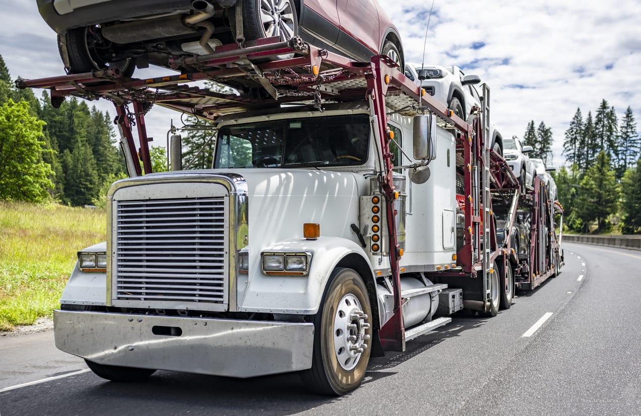
Ship a Car, Inc. delivers superior shipping service to people relocating their vehicles, businesses moving their general freight and/or transporting heavy haul equipment as well as volume relocation services for dealers and corporations.
SAC is an experienced transport broker with direct access to the largest network of carriers. One simple call does it all. When you choose Ship A Car, we deliver not only your vehicle and/or freight, but peace of mind as well.
Contact a Ship A Car transport coordinator now at (866) 821-4555 for direct vehicle transport service to/from any residential or business location in the city of North Carolina.
During the Continental Congress, North Carolina was the first state to instruct its delegates to vote for independence from the British crown. Following the Revolutionary War, North Carolina developed an extensive slave plantation system and became a major exporter of cotton and tobacco, although the slave population remained relatively small compared to that of other southern states. Despite no major battles being fought in the state, North Carolina sent more recruits to fight for the Confederacy than any other rebel state. In 1903, the state became the site of the first manned self-propelled airplane flight when the Wright brothers took off from a cliff near Kitty Hawk. The statehood was given to North Carolina on November 21, 1789. The state motto is Esse Quam Videri (“To Be Rather Than to Seem”).
It is bordered by Virginia to the north, the Atlantic Ocean to the east, Georgia and South Carolina to the south, and Tennessee to the west. Raleigh is the state’s capital and Charlotte is its largest city.
Wikipedia,https://en.wikipedia.org/wiki/north-carolina. Accessed March 30, 2020.
History.com
Editors,Updated: August21,2018|Original:December18,2009,
https://www.history.com/topics/us-states/north-carolina. Accessed March 30, 2020
North Carolina Department of Transportation
The North Carolina Railroad (reporting mark NCRR) is a 317-mile (510 km) state-owned rail corridor extending from Morehead City, North Carolina to Charlotte, North Carolina. The railroad carries over seventy freight trains offered by the Norfolk Southern Railway and eight passenger trains (Amtrak’s Carolinian and Piedmont) daily. It is managed by the North Carolina Railroad Company and operated by Norfolk Southern.
Freight Carriers:
Aberdeen, Carolina and Western Railway (ACWR)
Aberdeen and Rockfish Railroad (AR)
Alexander Railroad (ARC)
Atlantic and Western Railway (ATW)
Blue Ridge Southern Railroad (BLU)
Caldwell County Railroad (CWCY)
Cape Fear Railways (CF)
Carolina Coastal Railway (CLNA)
(Operates the Nash County Railroad)
Chesapeake and Albemarle Railroad (CA)
Clinton Terminal Railroad (CTR)
CSX Transportation (CSXT)
Great Smoky Mountains Railroad (GSMR)
High Point, Thomasville and Denton Railroad (HPTD)
Kinston and Snow Hill Railroad (KSH)
Laurinburg and Southern Railroad (LRS)
Norfolk Southern Railway (NS) including subsidiaries Camp Lejeune Railroad (CPLJ) and State University Railroad (SUR)
(Operates the North Carolina Railroad) (NCRR)
North Carolina and Virginia Railroad (NCVA)
R.J. Corman Carolina Lines (RJCS)
Thermal Belt Railway (TBRY)
Virginia Southern Railroad (VSRR)
Wilmington Terminal Railroad (WTRY)
Winston-Salem Southbound Railway (WSS)
Yadkin Valley Railroad (YVRR)
Passenger Carriers:
Amtrak (AMTK)
Charlotte Trolley
Great Smoky Mountains Railroad
New Hope Valley Railway
Red Springs & Northern Railroad
Tweetsie Railroad
Wikipedia,https://en.wikipedia.org/wiki/north-carolina. Accessed March 30, 2020.
History.com
Editors,Updated: August21,2018|Original:December18,2009,
https://www.history.com/topics/us-states/north-carolina. Accessed March 30, 2020
North Carolina Department of Transportation
North Carolina now includes more than 78,000 miles of paved highways, one of the largest systems in America.
The major Interstate roads are: I-26 from Asheville to the NC/SC State Line (40 miles); I-40 from Greensboro to Canton (219 miles); I-77 from Charlotte to the NC/VA State Line (96 miles); I-85 from the NC/VA State Line to the NC/SC State Line (233 miles); and, I-95 from Weldon to Lumberton (182 miles).
The state is identifiable not only by its long, lopsided shape but also by its tangles of red, black, and blue lines: the arc of Interstate 85 from Charlotte to Durham; the split ends of U.S. highways 64, 264, and 70 reaching coastward; the great stitching together of Triangle and Triad by Interstate 40.
Wikipedia,https://en.wikipedia.org/wiki/north-carolina. Accessed March 30, 2020.
History.com
Editors,Updated: August21,2018|Original:December18,2009,
https://www.history.com/topics/us-states/north-carolina. Accessed March 30, 2020
North Carolina Department of Transportation
There are four international airports and several regional airports in the state of North Carolina. Many of the flights to and from the regional airports connect through Charlotte-Douglas International Airport, the busiest airport in the state.
Charlotte-Douglas International Airport (CLT)–
Charlotte-Douglas International Airport is American Airlines second largest hub after Dallas-Fort Worth and the busiest airport in North Carolina, handling more than 46 million passengers each year. The airport is a joint civil-military operation, home to the Charlotte Air National Guard Base. Ground transportation includes taxis and public buses.
Raleigh-Durham International Airport (RDU)–
Serving nearly 13 million passengers per year, Raleigh-Durham International Airport is a surprisingly large and busy airport for a relatively small metropolitan region. Numerous airlines serve the airport, including American, Delta, Frontier, and Southwest, and they fly to 68 nonstop destinations. That said, many flights do connect in hub cities. International routes include London, Paris, Toronto, Mexico, and several Caribbean destinations.
There isn’t great public transportation to the airport—you’ll have to take a connecting bus through the Regional Transit Center—but taxis are relatively reasonable.
Piedmont Triad International Airport (GSO)–
This international airport serves the North Carolina cities of Greensboro, Winston-Salem, and High Point with annual passenger traffic reaching nearly two million people. It flies to 16 destinations nonstop, including New York, Miami, Chicago, Dallas-Fort Worth, and Washington, D.C. While the airport is great because it’s not very crowded, it’s not easy to get to via public transportation—you’ll have to take a bus to a regional transportation center, then take a shuttle from there.
Asheville Regional Airport (AVL)–
All three major U.S. airlines fly into Asheville, as do budget airlines Spirit and Allegiant. There are nonstop routes to Atlanta, Charlotte, Chicago, Dallas, New York (Newark), Philadelphia, and Washington, D.C., with seasonal service to destinations in Florida. While there is a public bus that connects the airport with downtown Asheville, most travelers drive or take taxis.
Other functional airports are: Coastal Carolina Regional Airport (EWN), Fayetteville Regional Airport (FAY), Pitt-Greenville Airport (PGV), Albert J, and Ellis Airport (OAJ).
Wikipedia,https://en.wikipedia.org/wiki/north-carolina. Accessed March 30, 2020.
History.com
Editors,Updated: August21,2018|Original:December18,2009,
https://www.history.com/topics/us-states/north-carolina. Accessed March 30, 2020
North Carolina Department of Transportation
The N.C. Department of Transportation’s Ferry Division runs the second largest state-run ferry system in the United States.
About 800,000 vehicles and 1.8 million passengers, each year, cross the rivers and sounds of Eastern North Carolina, making the ferry system a vital lifeline for those who live and work in the region and an economic necessity for businesses.
Ferry operations involve more than 20 ferries on seven regular routes across the Currituck and Pamlico sounds as well as the Cape Fear, Neuse and Pamlico rivers. Two routes – Hatteras-Ocracoke and Ocracoke-Cedar Island – are officially part of The Outer Banks National Scenic Byway.
The ferry system also plays a crucial role during coastal emergencies, moving thousands of people out of harm’s way in advance of hurricanes. An emergency route also runs between Stumpy Point and Rodanthe, when N.C. 12 is damaged due to storms and other issues.