Effortlessly shipping cars, motorcycles, trucks or any vehicle to/from any location in Maryland
Maryland Vehicle Shipping & Heavy Haul Transport Experts
At Ship S Car, Inc., we pride ourselves on our vast knowledge of the freight transport industry. With over 10 years of experience, we confidently offer advanced shipping services such as vehicle relocation, transportation of heavy equipment and machinery, and general freight shipping to the public and businesses. We can also handle all volume (big and small) relocation services for auto dealers, corporations, and education establishments.
We are an experienced full-service freight transport broker providing you with an A to Z transport solution – a single call is all it takes. When you choose SAC as your transport broker, stand by you educating and communicating throughout the entire transport process.
We pride ourselves in providing our customers with assured mobility, benefits to consumers, and a high standard of service. Contact a Ship A Car transport coordinator now at (866) 821-4555 for vehicle shipping and freight transport service to/from any residential or business location in Maryland.
We provide direct service to and from any location in Maryland -
above is a list of the most popular car shipping locations that we service.
Everything You Need to Know About the State of Maryland (MD)
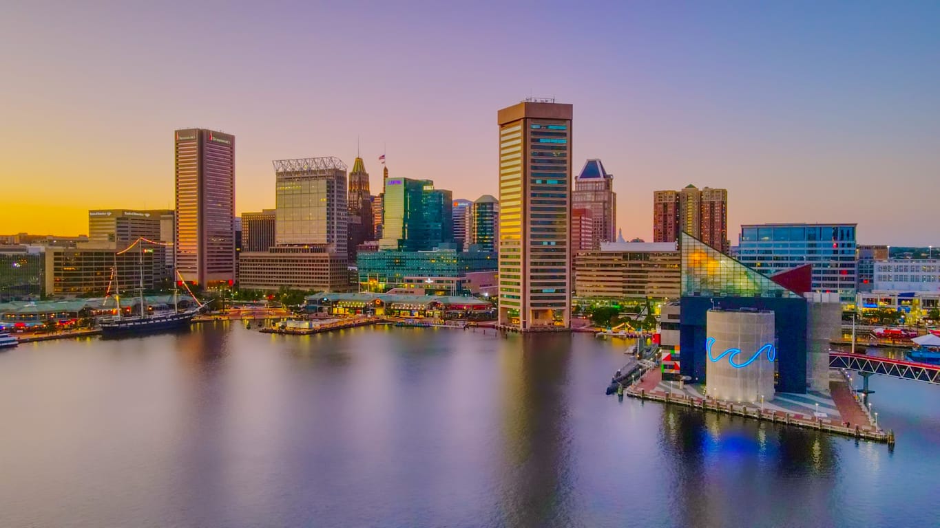
Maryland located in the Mid-Atlantic region of the eastern coast of the United States, bordering Virginia, West Virginia, and the District of Columbia to its south and west; Pennsylvania to its north; and Delaware and the Atlantic Ocean to its east. The largest and commercially important city is Baltimore, and Annapolis is the capital. The state takes occasional nicknames: Old Line State, the Free State, and the Chesapeake Bay State. Maryland was named after the English Queen Henrietta Maria, known in England as Queen Mary.
Maryland gained its statehood on April 28, 1788. The state motto is-Fatti Maschii Parole Femine (“Strong Deeds, Gentle Words”).
Don’t think of its small size only! The small area, compared to other states belies the great variation of its landscapes and nature. Maryland is the leading producer of blue crabs and is renowned for its crab cakes.
Maryland is located in the Mid-Atlantic region of the Eastern coast of the United States. It borders Virginia, West Virginia, and the District of Columbia to its South and West; Pennsylvania to its North; and Delaware and the Atlantic Ocean to its East.
Baltimore is the state's largest and most commercially important city. Its capital is Annapolis. Maryland has a few nicknames: Old Line State, Free State, Chesapeake Bay State, Monumental State, and Cockade State. The name "Maryland" was given in honor of the English Queen Henrietta Maria, known in England as Queen Mary.
Maryland gained its statehood on April 28, 1788. The state motto is "Fatti Maschii Parole Femine". When translated, it means Strong Deeds, Gentle Words. It has 23 counties, with Baltimore as its independent city.
Although it is small in landmass, the small area, compared to other states, belies a significant variation in its landscapes and nature. Maryland takes the forefront in producing blue crabs and is renowned for its crab cakes. The state also mines limestone, coal, and natural gas.
Maryland is one of the states that ensured true religious liberty in the country. In April 1649, the “An Act Concerning Religion (later known as the Maryland Toleration Act)” was voted into law. The law later granted freedom of worship to all Christians.
The United States adapted its national anthem from the lyrics “The Star-Spangled Banner”. It The lyrics were composed by Francis Scott Key during the war of Baltimore against the British in 1812.
The Battle of Antietam, which occurred in Sharpsburg on September 17, 1862, was the first attack on Union soil during the civil war. It was also the bloodiest one-day battle to be recorded in U.S. history, with more than 23,000 soldiers killed. Despite this, it ended in a draw.
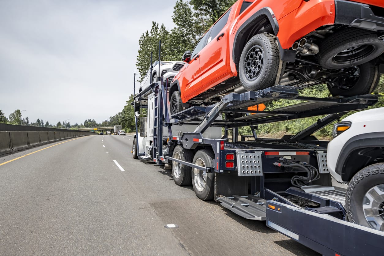
Auto Transport in Maryland
There are varying reasons you may choose to have your vehicle shipped. Relocation, vacations, and road trips are just a few of them. Whether for recreational purposes or something more permanent, your car shipping process can be made less challenging. The following are sure to help.
Auto Transport Costs in Maryland
The factors that determine auto transport costs in Maryland are:
1. Shipping Method
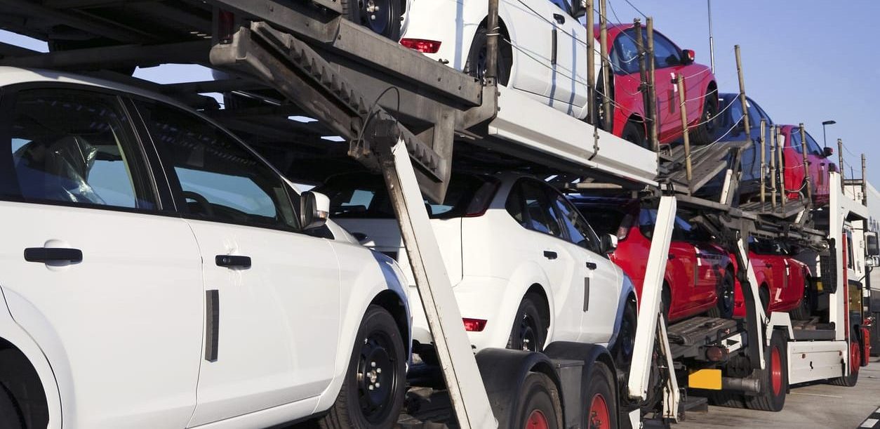
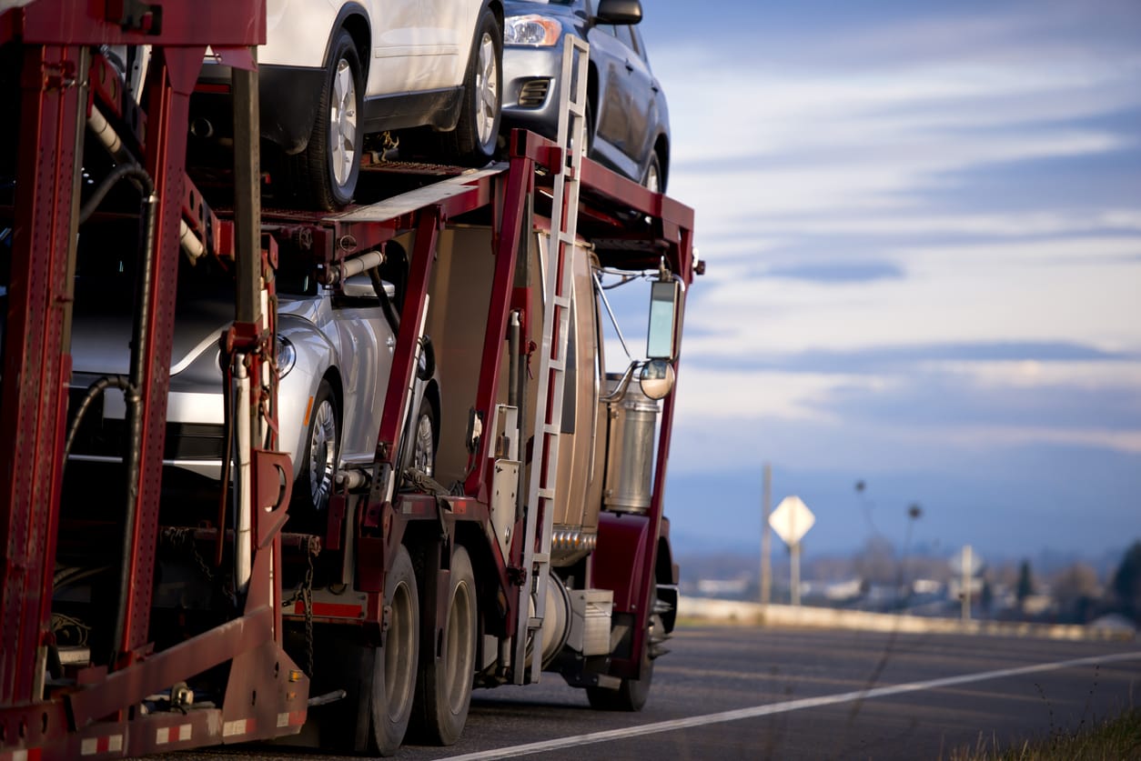
Your choice of shipping method determines your car’s shipping cost. There are two auto-shipping methods – enclosed vehicle shipping and open vehicle shipping.
The enclosed method transports vehicles in a manner that prevents the vehicles from being affected by external and harsh weather conditions. It is typically more expensive to use an enclosed carrier as it completely protects your vehicle and these carriers typically carry higher insurance coverage limits. You should use this method if you have a vintage, high line or a brand new vehicle.
The open method transports vehicles without any provision for their protection from external weather elements or various road debris.
2. Accessibility and Distance
You are more likely to pay less to have your car shipped if your location is one that the car shipping company frequents, it’s right off the main highway or it’s a major city. Auto transport companies charge more when picking up or dropping off in areas far off from their usual routes. Hence, you should confirm your location is within the regular route of the auto transport company you are considering.
Also, the longer the distance covered traveled from pickup to drop off, the higher the cost of shipping your car.
3. Type of Vehicle
Vehicles smaller in size that weigh less cost lower than vehicles that occupy more space. If you have multiple cars and plan to ship for temporary use, it is best to ship the smallest car to save costs.
4. Operational vs In-op Vehicles
Transporting functional vehicles cost less than transporting non-functional ones. This is because moving a non-functional car requires extra time and equipment to get them onto the carriers.
Car Shipping Preparation
Preparing to ship your car to or from Maryland is a straightforward process will leave you happy and your car in excellent condition. Here are a few things to do:
1. Clean the Vehicle
Before shipping, try cleaning your car’s interior and exterior. Cleaning makes it easy to identify if there is any existing damage to your car. You can also take pictures of the car before and after it is shipped to make a proper comparison. *as a rule of thumb – make sure to take at least 4 good pictures of the front, back, passenger and driver side.
2. De-clutter the Vehicle
Auto transport companies are not held liable for items lost in transit. Hence, you should also remove all personal belongings from the car. In addition, do not forget to take out all toll passes from the vehicle to avoid your pass being charged as the carrier drives through toll roads.
3. Do Not Fill Up Your Gas Tank
Since the amount of gas in your car’s tank affects its weight, you want to ensure that it is as light as possible. One way to do that is to have enough gas for pick-up and drop-off. Any more gas leads to an increased shipping cost in the long run.
CALCULATE YOUR SHIPPING RATE IN 3 EASY STEPS!
Ready to transport with SAC?
Our transport representatives are available by calling (866) 821-4555 to answer all your questions.
The Baltimore-Washington International Thurgood Marshall Airport, (BWI) is the biggest airport in Maryland. The other airports that provide commercial and cargo services in Maryland are the Hagerstown and Salisbury airports. The College Park Airports is the country’s oldest airport. It was created in 1909.
The Amtrak trains, fast-paced Acela Express, goes through different routes to the Boston North-East Corridor. These routes include the Baltimore’s Penn Station, BWI Airport, New Carrollton, and Aberdeen along Washington D.C. Additionally, Amtrak offers locomotive services to Rockville and Cumberland.
Most of Maryland’s commuting services are linked to BWI Airport. The Washington Metropolitan Area Transit Authority’s Metrorail Rapid Transit, and the Metrobus local bus systems provide service in Montgomery and Prince George’s counties and connect them to Washington D.C., with the express Metrobus Route B30 serving BWI Airport.
The transit services of the Maryland Transit Administration (MTA) are mainly structured, focusing on central Maryland and some portions of the Eastern Shore and Southern Maryland. Baltimore’s Light Rail and Metro Subway systems serve its tightly populated inner city alongside its surrounding suburbs. The MTA also has a local bus service that serves the city and its suburbs.
Freight rail transport is operated principally by two Class I railroads and several smaller regional and local carriers. The primary rail yards are situated in Baltimore and Cumberland. These rail yards have an intermodal terminal catering to rail, truck, and marine services in Baltimore.
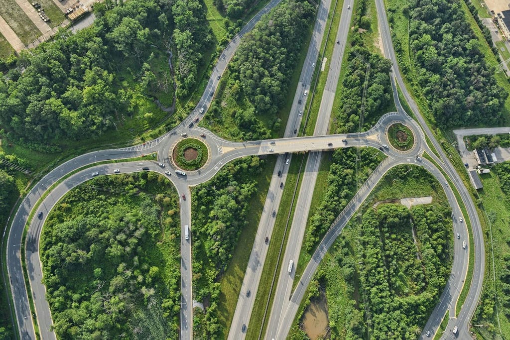
Maryland’s interstate highways consists 110 miles (180 km) of Interstate 95 (I-95). I-95 runs through Baltimore, and becomes part of the eastern portion of the Capital Beltway to the Woodrow Wilson Bridge.
Other major highways are:
I-68: it covers 81 miles (130 km) and connects the Western portions of the state.
I-70: begins at Pennsylvania, North of Hancock, and progresses to Baltimore. It connects Hagerstown and Frederick as it goes.
I-83: travels 34 miles (55 km) in Maryland. It connects Baltimore to Southern Central Pennsylvania.
Additionally, there are numerous connecting interstate highways in the Maryland. The state also has a highway system that has routes numbered from 2 through 999. However, most of the high-end routes are either unsigned or have short spans.
Maryland’s marine system is made up of a complex network of branches and feeders. Some of them are known as rivers and sometimes inlets. The bulk of rivers in Maryland course into the Chesapeake Bay. All the state’s rivers have shaped the development of the state since its emergence.
As rated by our clients and
What do our clients say?
5
Rating
Company
5.0
Got the bike Friday, everything great, just wanted to say thank you and I'll call you with any new business in the future, can't thank you enough Fernanda.
Mark L. Enfield, CT
5.0
Representative Kristina was very professional and efficient. She was able to find awesome pricing and quickly secured transport of my car. I’ve used other transport services and have had terrible luck and service. I cannot recommend Ship-A-Car highly enough!!
Lisa
5.0
Joseph Gorfien was a pleasure to work with. He was very responsive each step of the shipment of my four seater golf car from picking it up on Marco Island to delivery in Roswell Ga. - picked up on the 4th and delivered on the 5th just as quoted which was a reasonable price. Thank you Joseph!
Larry Roswell, GA
5.0
The only thing better than ship a car is Bob, who works at ship a car. Bob is a great listener who will help you get your vehicle where it needs to get to. Bob worked with us to get our rav4 moved from Florida to New York. He listened to our needs and wants and crafted a time and price that coordinated perfectly with our plans. Unlike many transporters, Bob gave us a quote which was believable, accurate, and was the price we ended up paying. He doesn't bait you with a low price which can't be fulfilled. I have already recommended ship a car to friends and will continue. Thanks Bob!!!
Gerry W
5.0
I was very apprehensive about choosing a company to ship my sons car from NC to Wa. There are so many options out there. As soon as I spoke to Pepper Long, I knew that I would choose her company. She was friendly, helpful, and reassuring during the entire experience. She continuously checked on the progress of the shipment and kept me updated about where the car was and when I could expect it to be delivered. She even checked in on me in the aftermath of Hurricane Matthew. It was a great experience and I would definitely recommend using this service to anyone who is looking to ship a car.
Deborah B. Fayetteville, NC
5.0
Do not give these people your money. I paid them their $300 deposit to have a driver sent to my location. The driver showed up 2 days late at 10pm and said he couldn’t tow my trailer because my brakes didn’t work and took $400 from me and said I can get my money back from SHIP A CAR INC. Well the driver and this company seemed sketchy and so I called another company to tow it. They towed it on time, without issue, with no complaints about my brakes, for much less. When I called SHIP A CAR INC to see if I can get any of the $700 dollars (which I spent for them to do absolutely nothing for me) back they said they would get in contact with me. Each time I’ve called back they say, again, they will call me later. This has happened 3 times and now I am fed up with waiting. It took me just a couple google searches to find a much more reliable and inexpensive company, who didn’t steal from me, so I recommend you search a little longer and find someone else.
Joseph Gallagher
5.0
Willie at ship a car never let me down while trying to find me a transport carrier after the initial one dropped the ball. I appreciate his persistence and following through and would highly recommend them anytime.